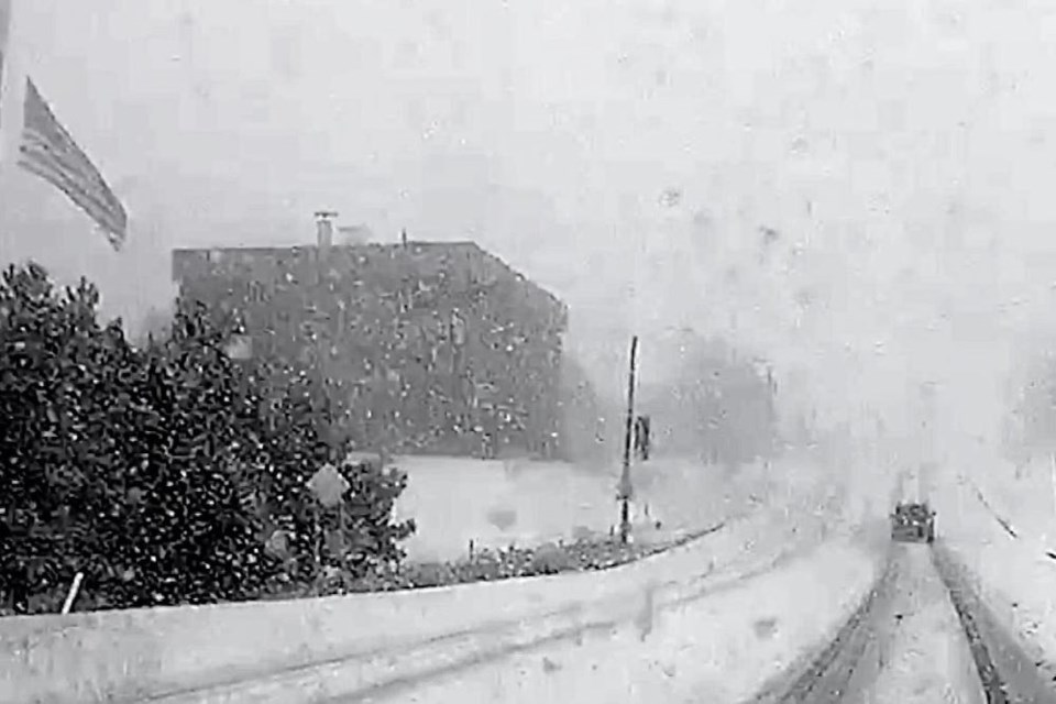
The National Weather Service has issued a winter storm watch for Tuesday through Wednesday morning for Chippewa and Mackinac Counties including Sault Ste. Marie.
Heavy snow is expected with total accumulations of 6 to 10 inches in the 24-hour span. Wind gusts are expected to be as high as 35mph adding to treacherous driving conditions.
The snow is expected to increase from south to north Tuesday afternoon through the evening hours. Two to three inches of snow is possible for the Sault Ste. Marie area by 5 p.m. Slightly higher amounts possible for Brevort, St. Ignace, Cedarville, DeTour, and Drummond Island.
The heaviest snow should fall Tuesday evening through Wednesday at 3 a.m. with another 4"-6" looking likely.
Another 2"-3" will be possible Wednesday 3 a.m. - Wednesday noon.
"Winter storm watch" means conditions are favorable to see 6" of snow in six to nine hours, or 8" in 12+ hours.
Soo Leader will keep you updated if/when the National Weather Service changes the winter storm watch to an advisory or warning.


