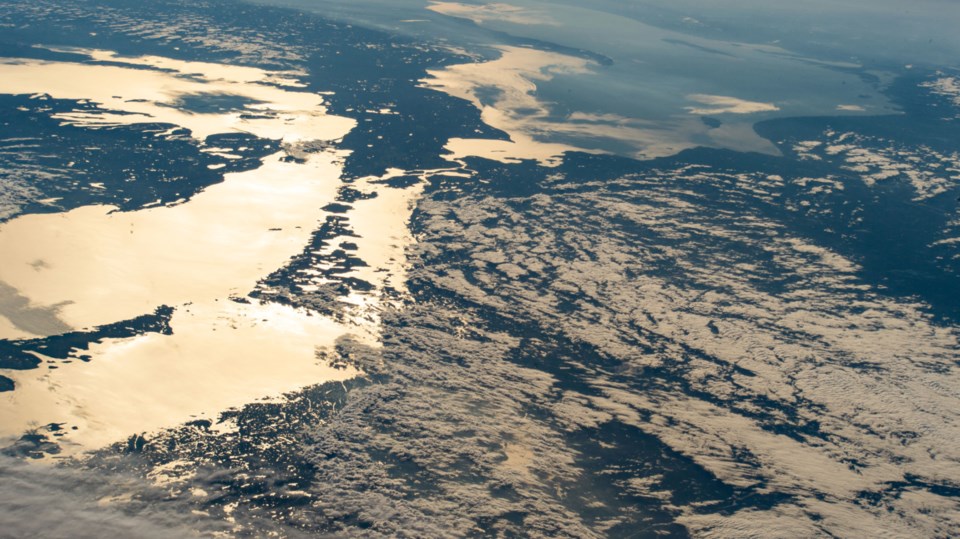
Unless you've dabbled in space travel, you probably haven't seen the Sault from quite this angle before.
The image above was snapped on Aug. 8 from the International Space Station and if you turn your head just the right way, you should be able to pick out Lakes Superior, Michigan, Huron, Georgian Bay and a big chunk of Michigan's Upper Peninsula. Sault Ste. Marie and the St. Marys River is near the upper middle of the photo.
NASA says the image was taken from an altitude of 407 kilometres while the ISS was travelling over Maine (44.4° N, 70.1° W). Camera geeks might be interested to know the image was captured with a Nikon D4 DSLR at a focal length of 100mm.
Chris Hadfield, the noted Canadian astronaut (and mystery novelist), spotted the photo and shared it with his Facebook followers.


